Maps of the the Aid, Cunningsburgh toevakoddi and surrounding area
The Aid, Cunningsburgh Toevakoddi on Google Maps
The Aid, Cunningsburgh Toevakoddi on the Ordnance Survey Map Six-inch 1st edition, 1843-1882. National Library of Scotland Collections.


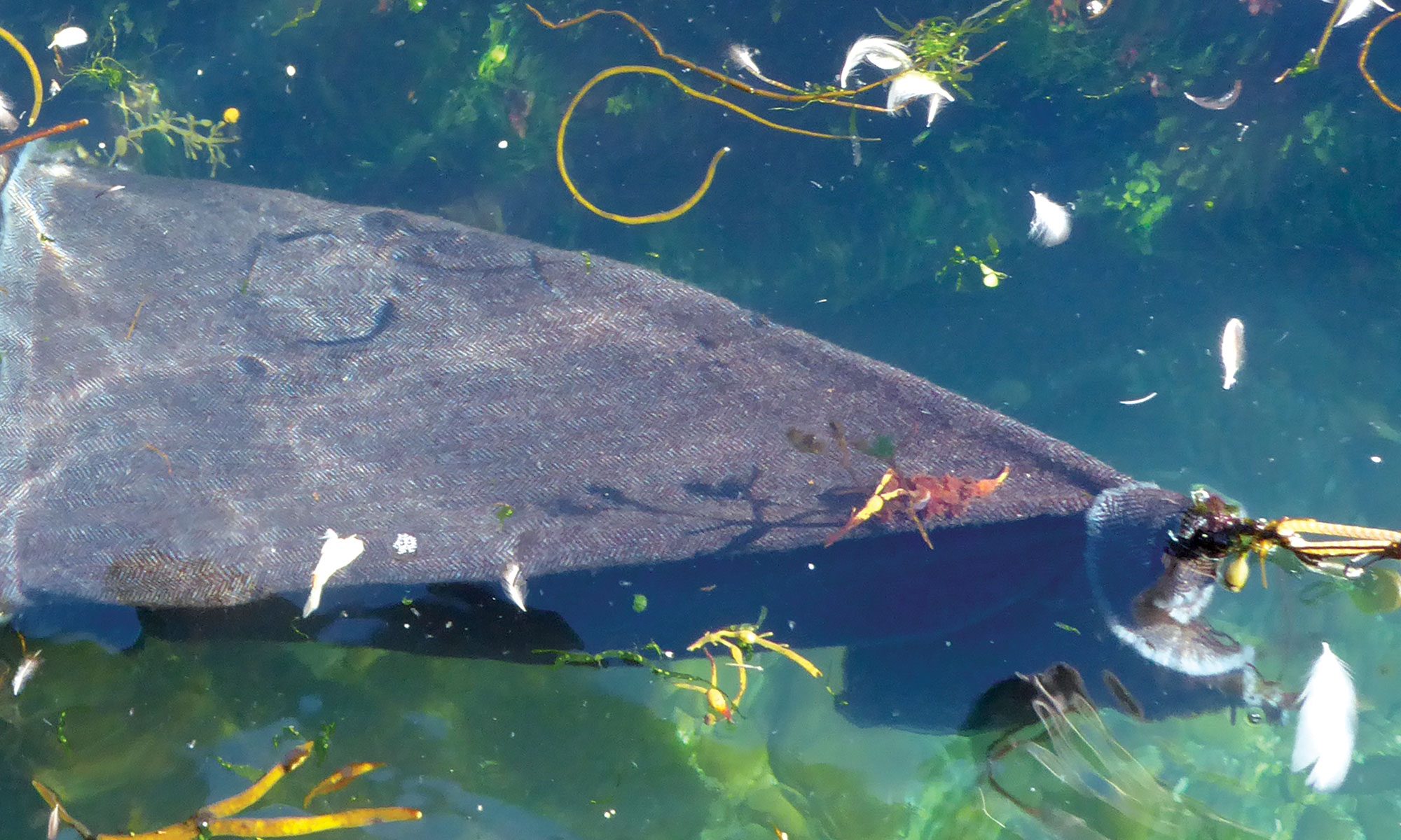
When we visited the Aid toevakoddi it was full of seaweed that had been thrown up by the water. At the time toevakoddies were in use, seaweed would have been regularly gathered for fertiliser, so the toevakoddi would have been clear.
Photos: HH